The fourth dimension of a map
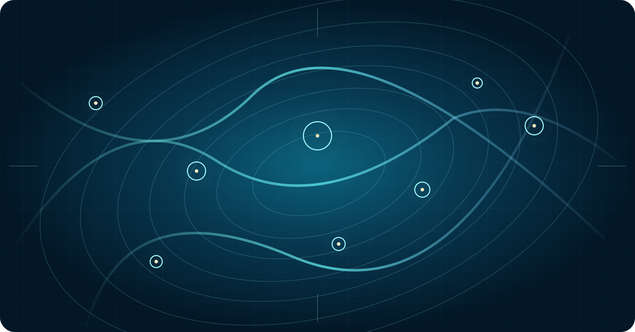
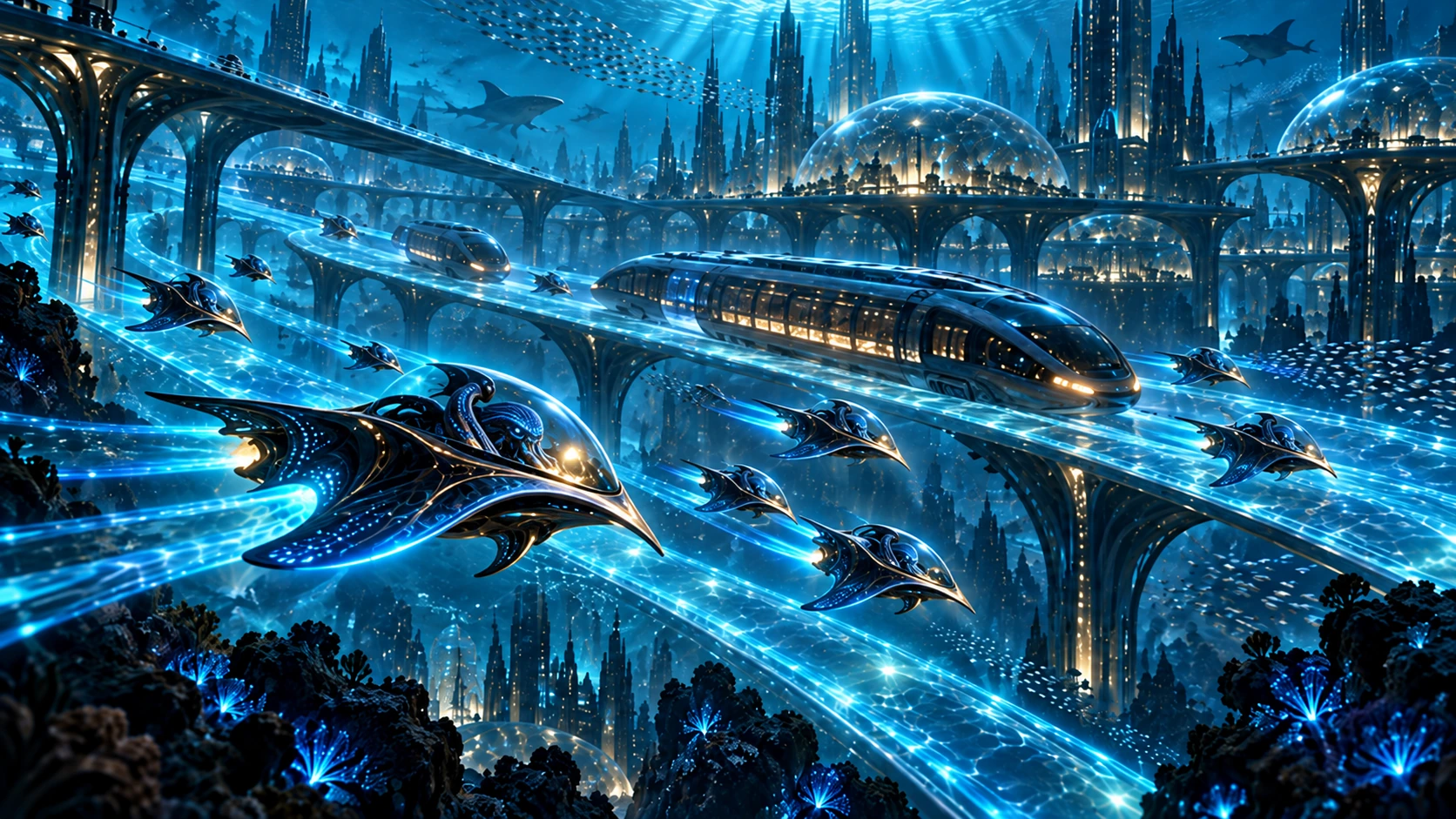
A chart for a wholly oceanic civilization must account for vertical transit, moving currents and geological hazards. Two vessels sharing horizontal coordinates may inhabit different operational worlds.
Settlements as network nodes
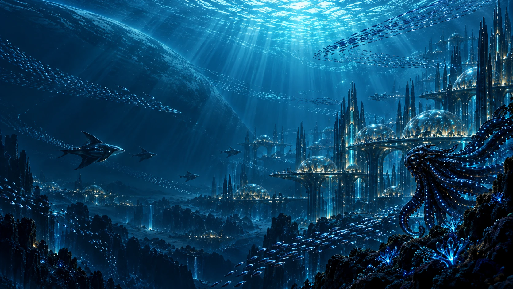
City locations depend on current stability, mineral and energy access, biological sensitivity and safe emergency corridors. A schematic is often a better early tool than a falsely precise geographic map.
The atlas remains under development
The visual map here illustrates the project’s principles; it does not claim approved positions for coastlines, city names, or ocean depths. Those decisions belong to the controlling planetary and geography authorities.